WATER RESOURCES & GIS
WEB-AIS Pilot Research Project on Irrigation Water Management
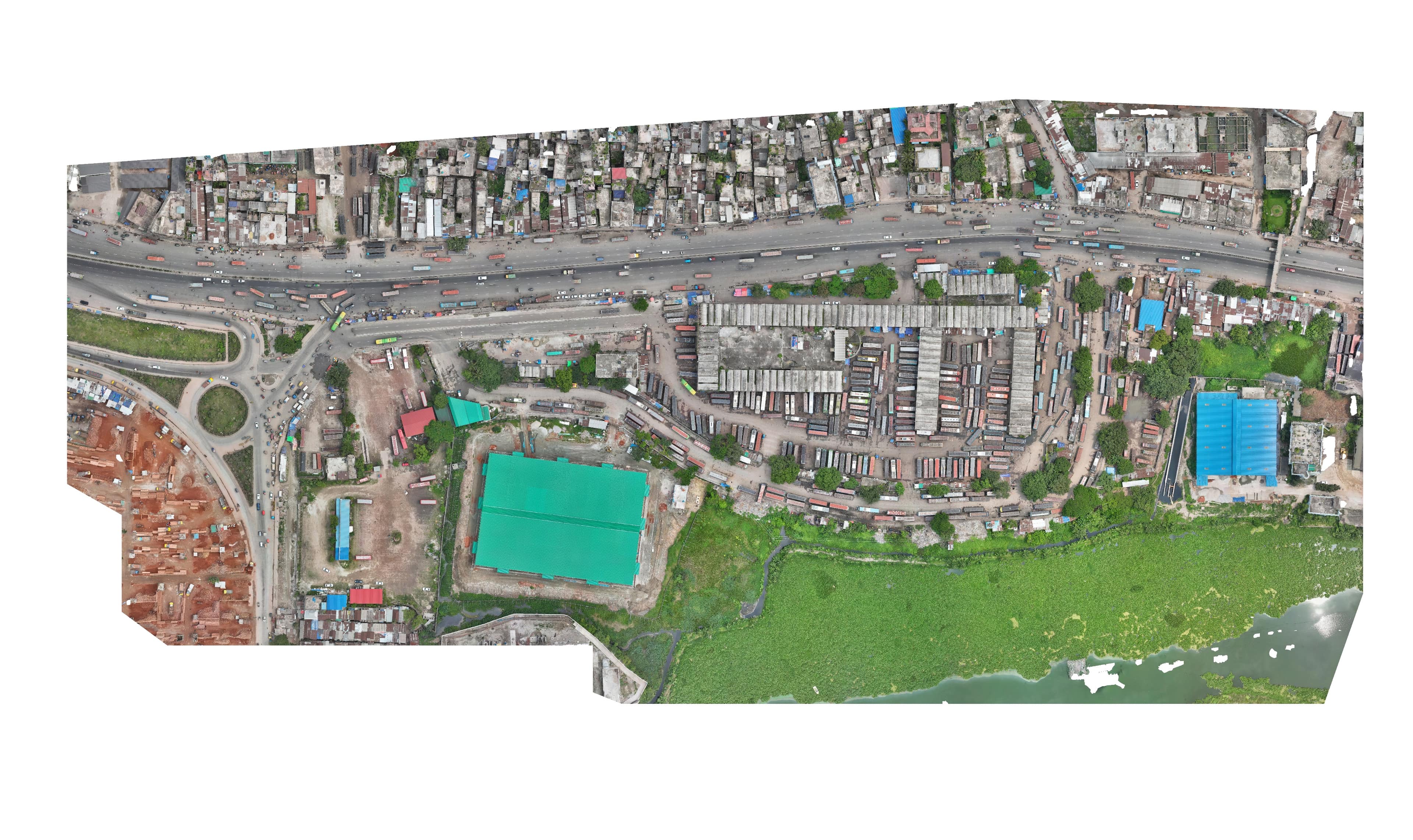
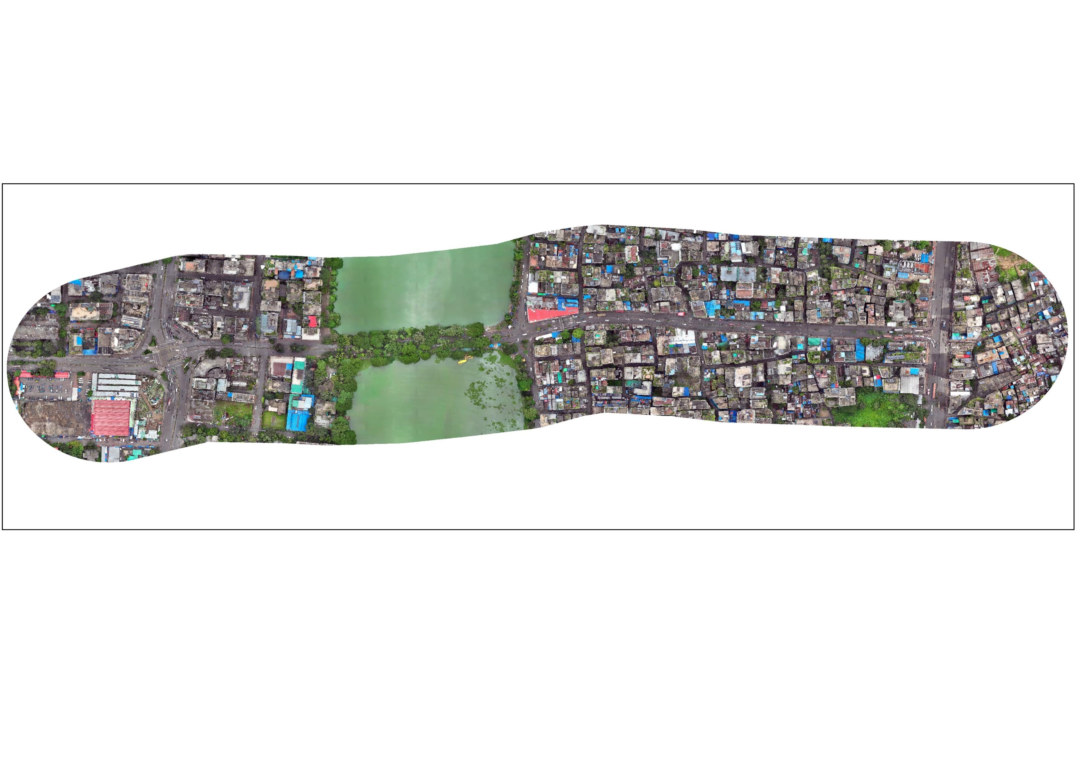
Pilot research project to improve irrigation water management and agricultural planning through high-precision spatial data, satellite remote sensing, canal distribution mapping, and TBM/GCP network establishment.
Project overview
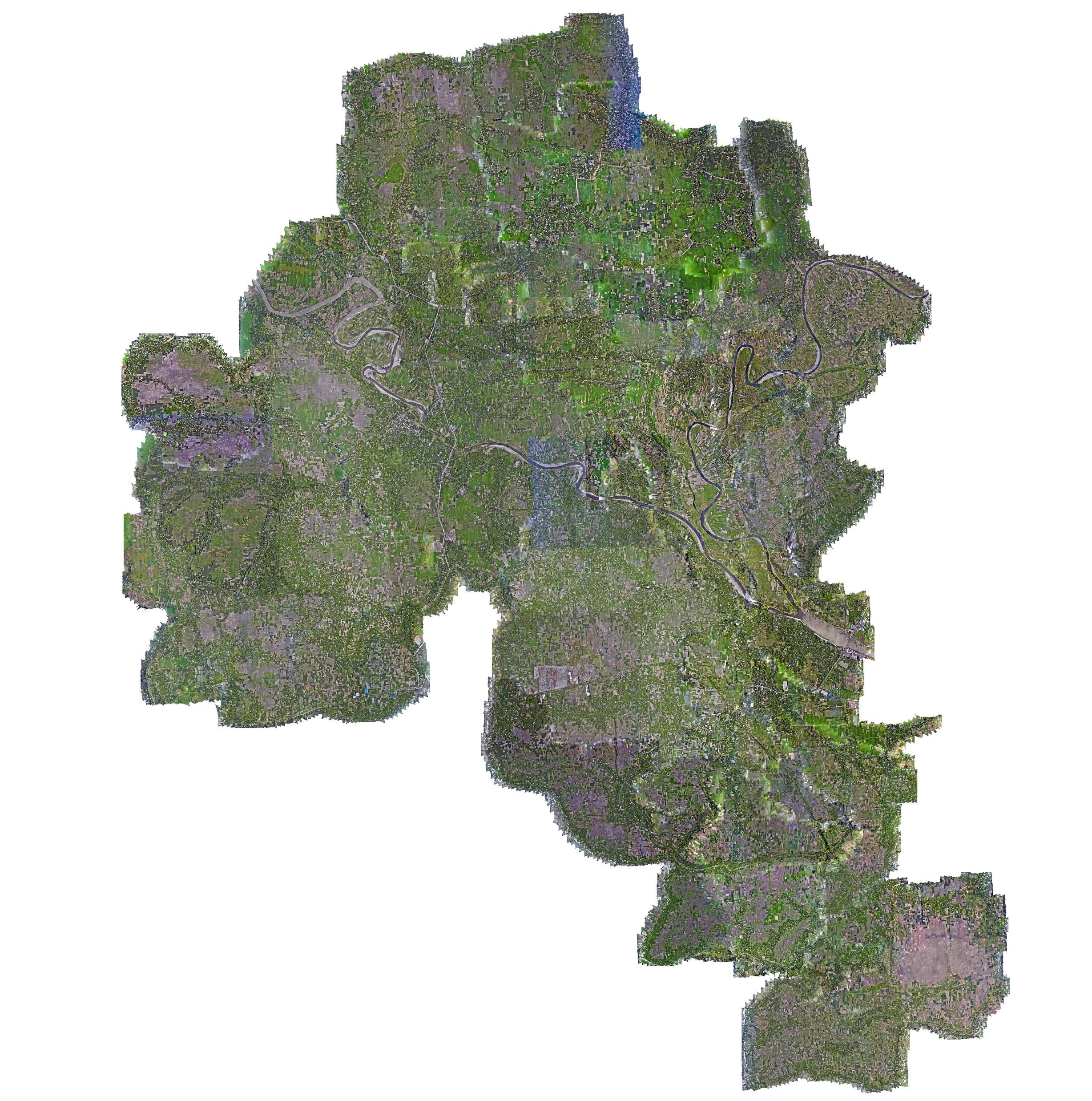
Pilot research project to improve irrigation water management and agricultural planning through high-precision spatial data, satellite remote sensing, canal distribution mapping, and TBM/GCP network establishment.
What we delivered
Canal Distribution Mapping, TBM & GCP Geodetic Network, Remote Sensing Baseline, GIS Database