WATER RESOURCES & GIS
WEB-AIS Spatial Data Outputs: TBM, Land Cover & Irrigation Canals
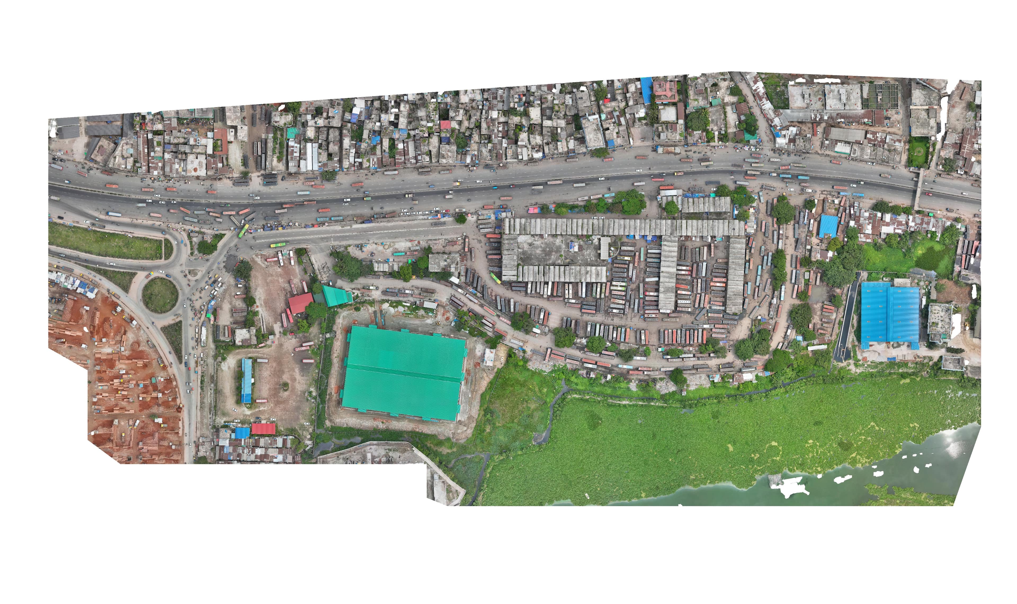
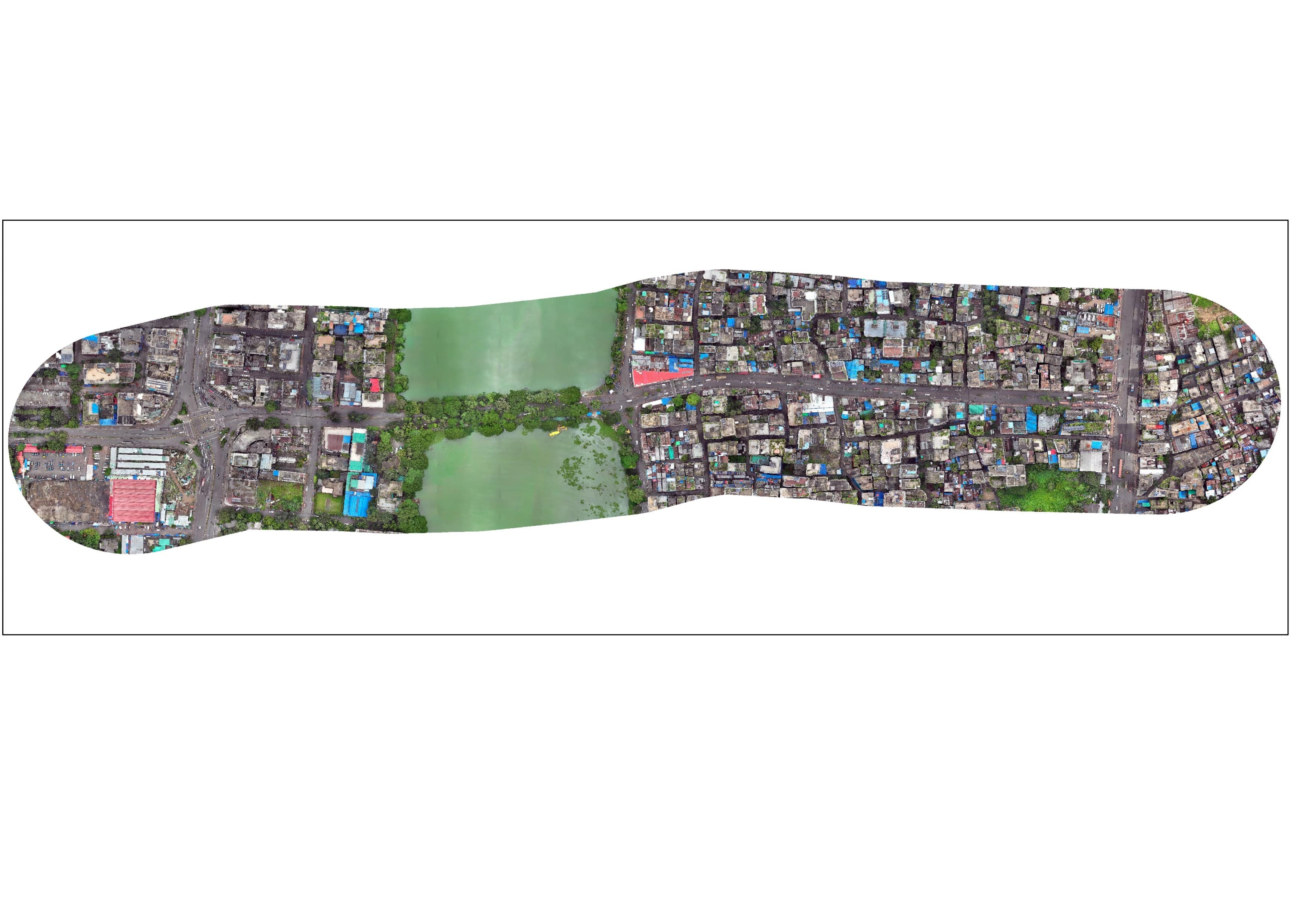
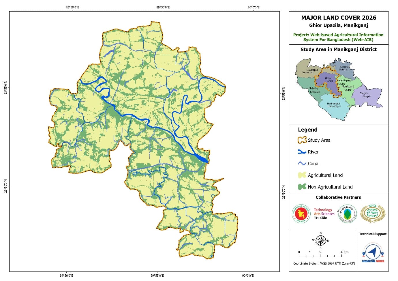
Comprehensive spatial datasets: Distribution of TBM & GCP Grid, Primary & Secondary Geodetic Controls, Land Cover Classification, Hydrological Network, Irrigation Canal alignments, and Distribution of Agricultural Pumps.
Project overview
Comprehensive spatial datasets: Distribution of TBM & GCP Grid, Primary & Secondary Geodetic Controls, Land Cover Classification, Hydrological Network, Irrigation Canal alignments, and Distribution of Agricultural Pumps.
What we delivered
Distribution of TBM and GCP Grid, Primary & Secondary Control Maps, Land Cover Classification, Irrigation Canal Distribution, Pump Distribution Analysis