WATER RESOURCES & GIS
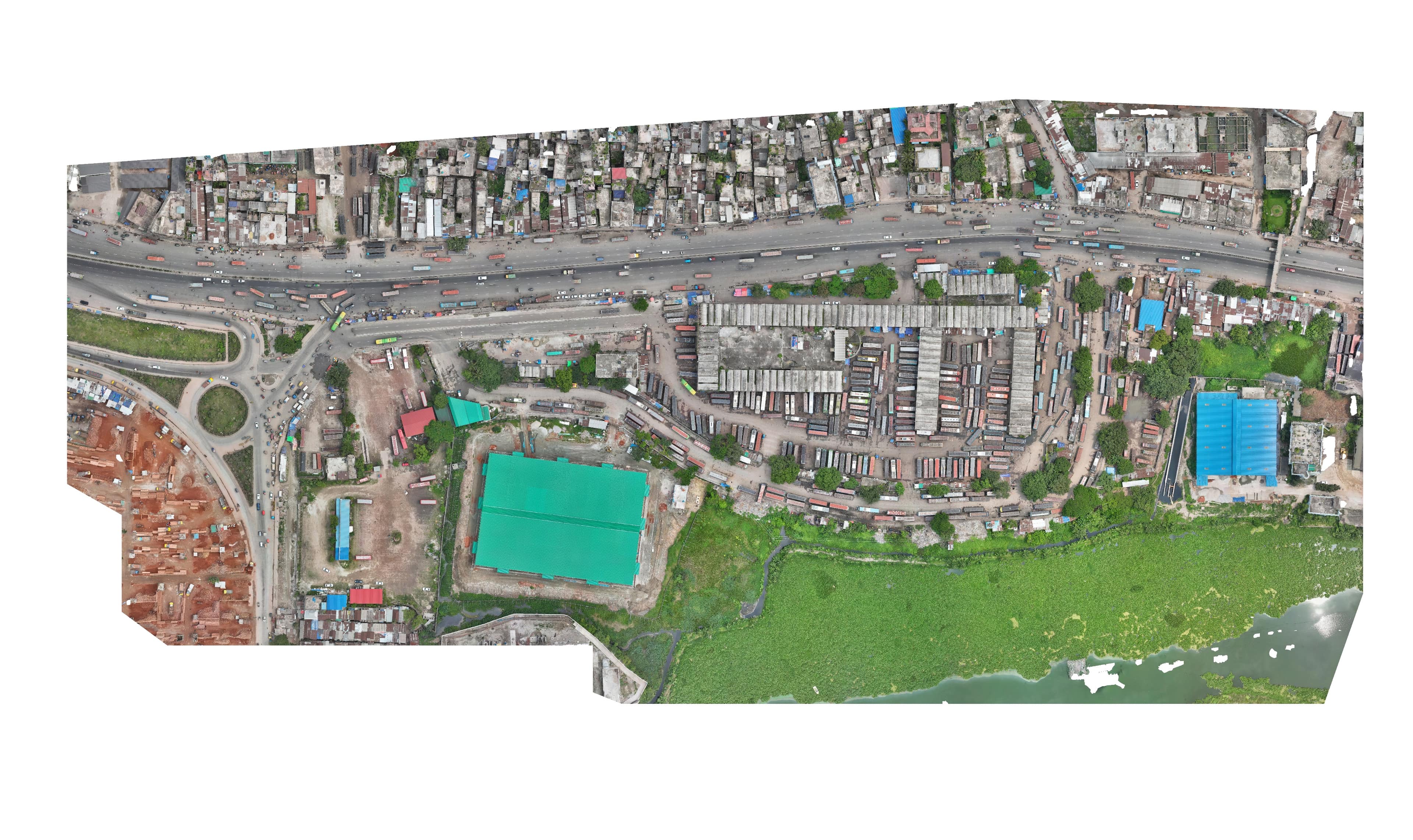
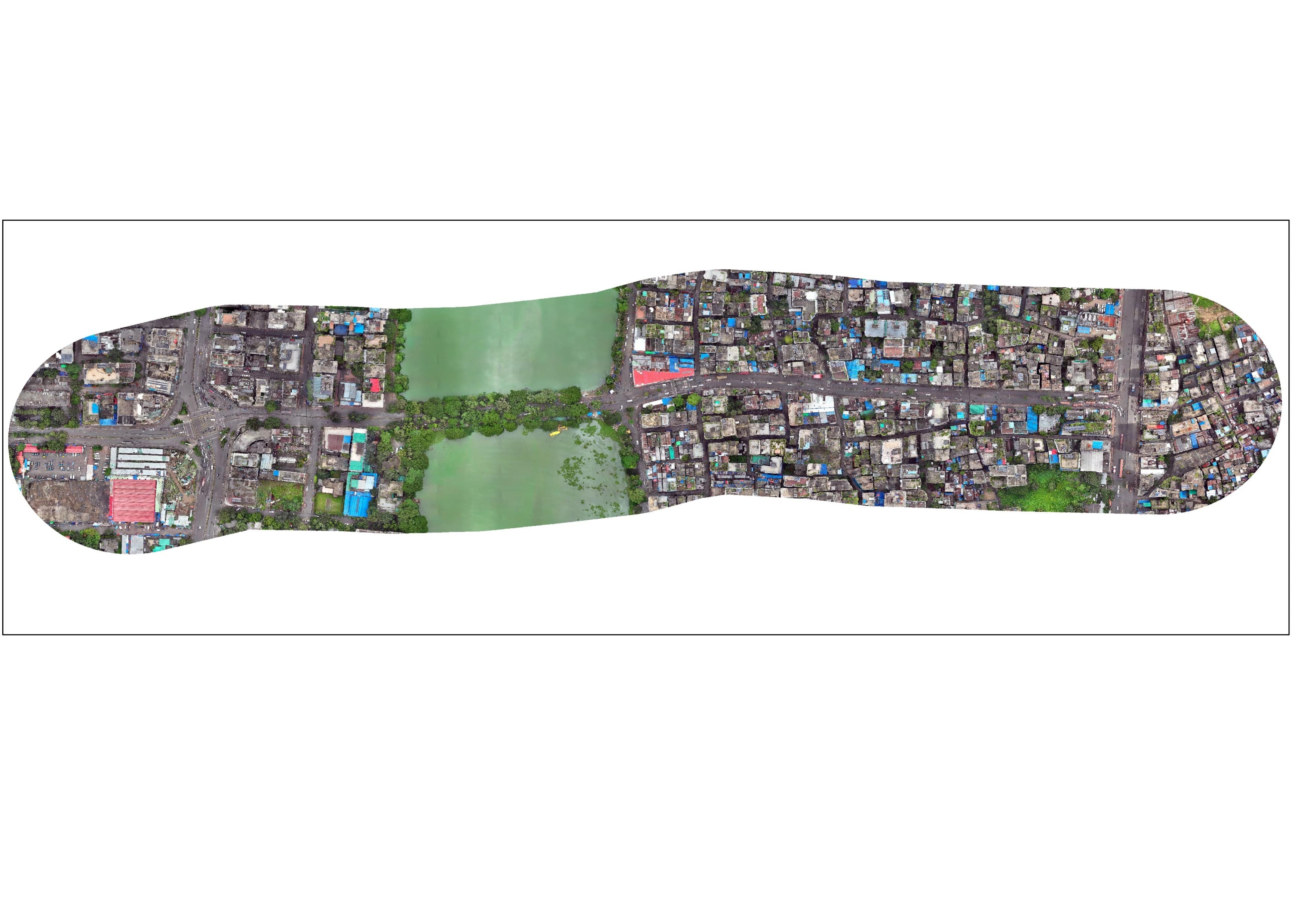
Gangarampur Hydrological Water Level Monitoring Sites
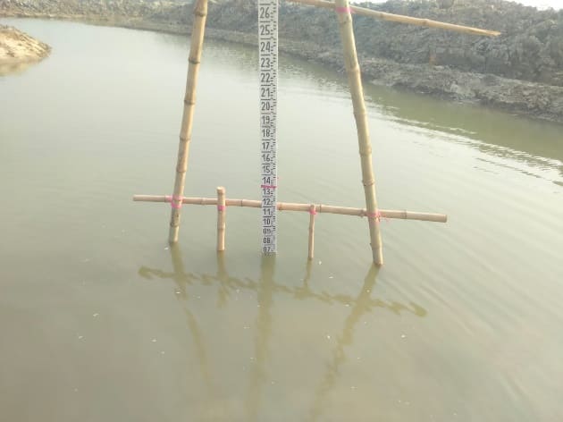
River gauging station outputs and calibrated water level readings across Jhopjhopia River Site (1.83 m), Guiyer Canal Opening near Amtola Canal (0.229 m), and Y-Section Point of Guiyer Canal (1.273 m).
Project overview
River gauging station outputs and calibrated water level readings across Jhopjhopia River Site (1.83 m), Guiyer Canal Opening near Amtola Canal (0.229 m), and Y-Section Point of Guiyer Canal (1.273 m).
What we delivered
Jhopjhopia River Water Level: 1.83m, Guiyer Canal Opening: 0.229m, Guiyer Canal Y-Section: 1.273m, Topographic Bank Profiles