RAPID MAPPING & INFRASTRUCTURE
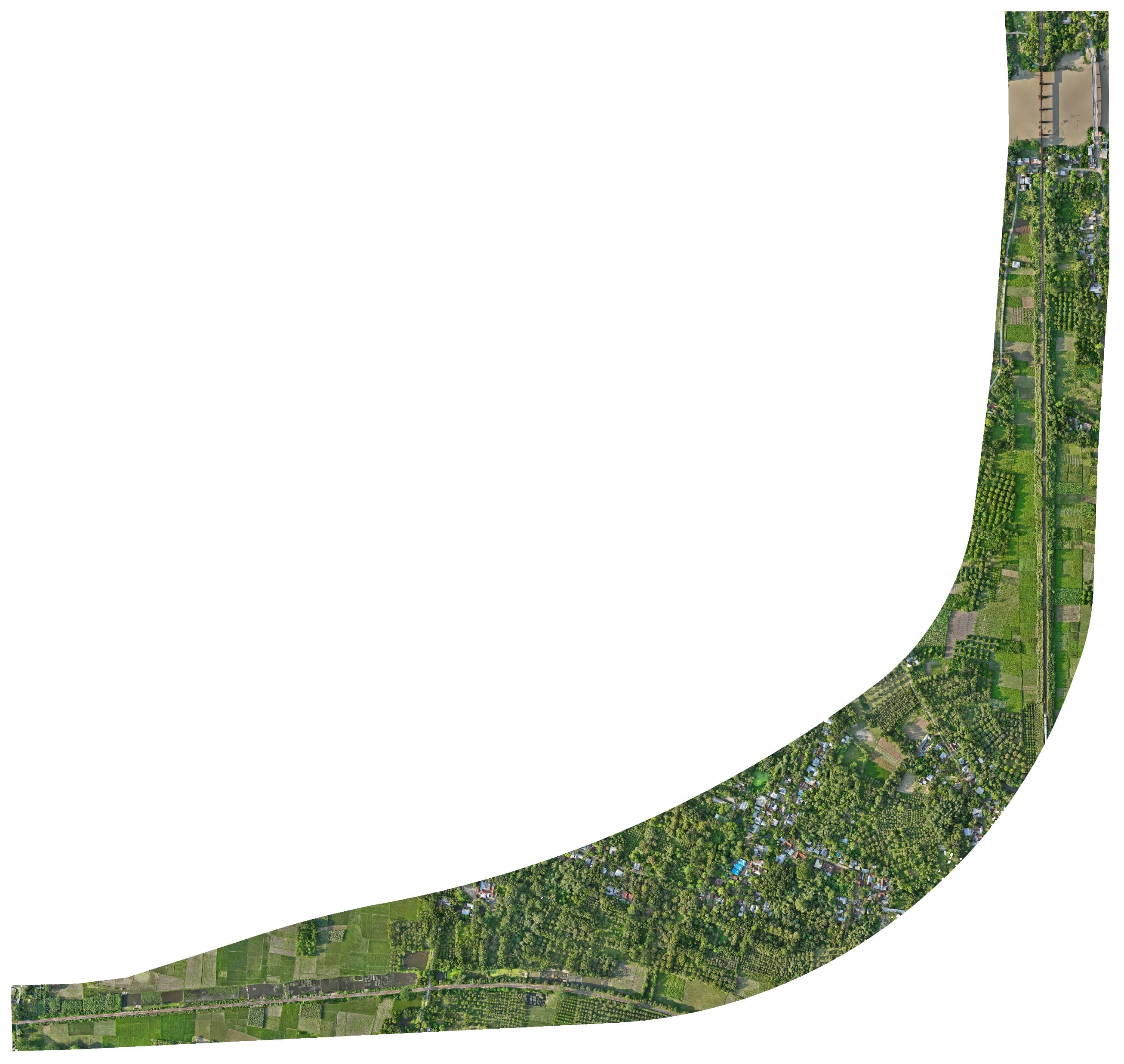
Abdulpur Railway Bypass Topographic & UAV Photogrammetry Survey
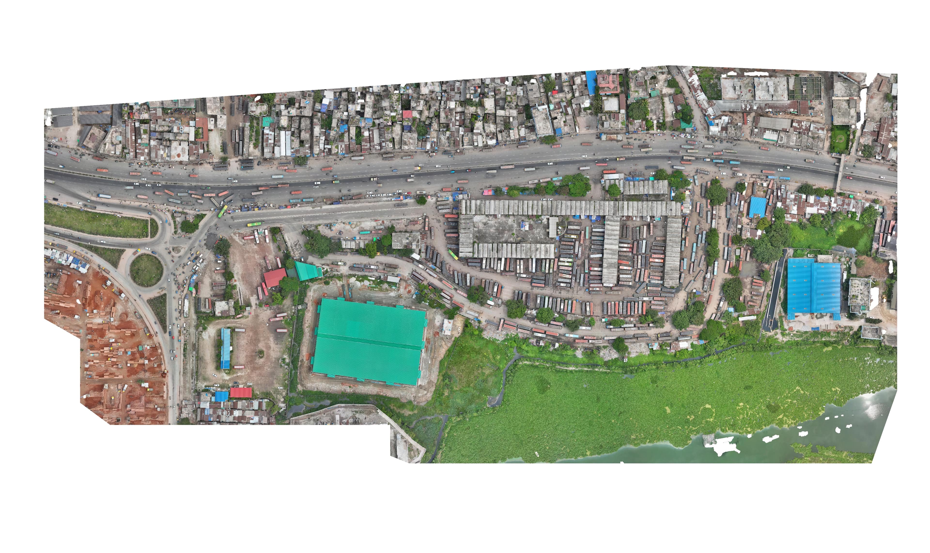
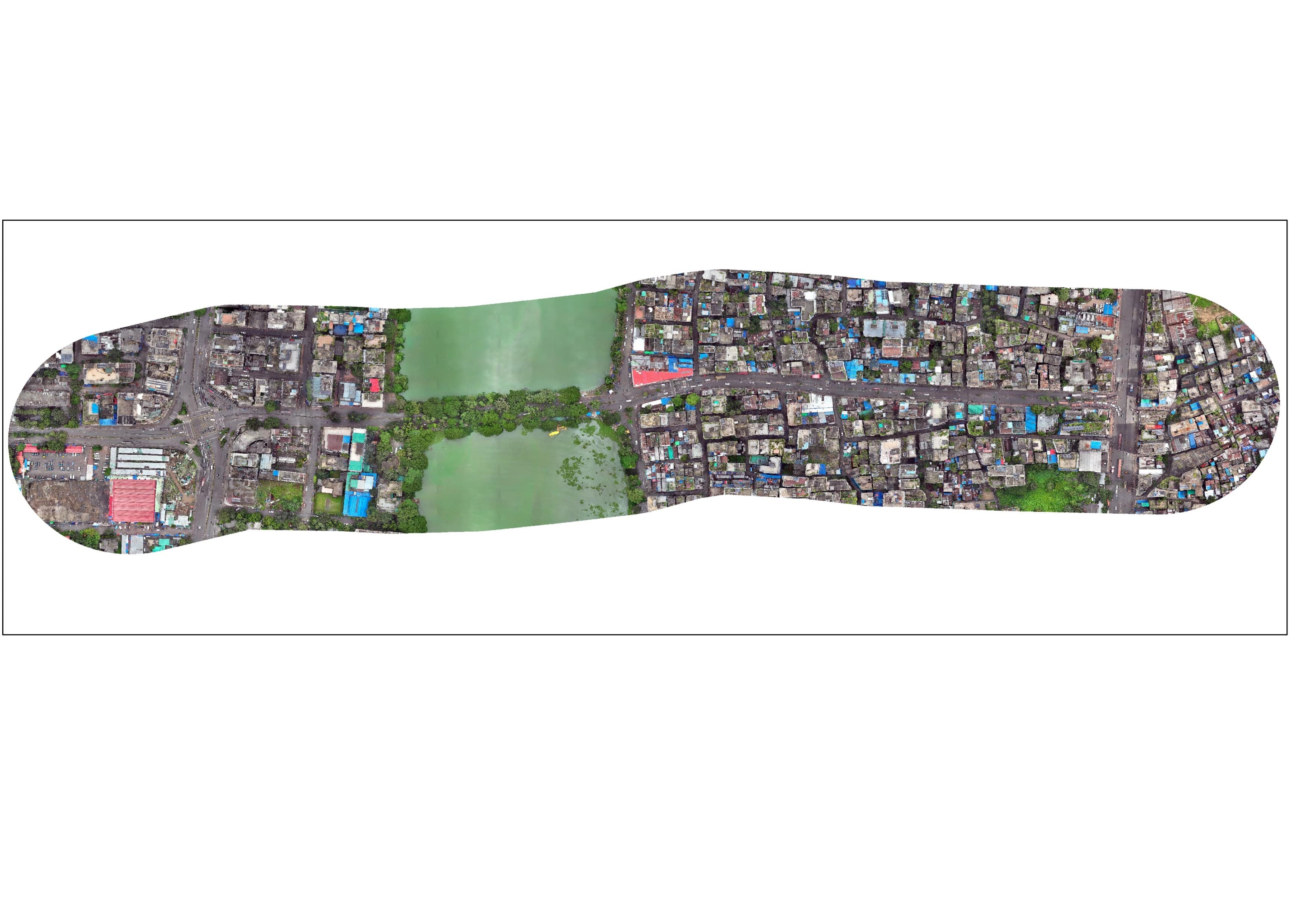
Rapid delivery topographic and physical feature survey using RTK and RTK-enabled UAV drone flights for the Abdulpur Railway Bypass under subproject 2 of Railway Connectivity Improvement Preparatory Facility (RCIPF).
Project overview
Rapid delivery topographic and physical feature survey using RTK and RTK-enabled UAV drone flights for the Abdulpur Railway Bypass under subproject 2 of Railway Connectivity Improvement Preparatory Facility (RCIPF).
What we delivered
Topographic Survey, UAV Flight Missions, Track Alignment Geometry, Rapid 14-Day Delivery