RAPID MAPPING & INFRASTRUCTURE
Abdulpur Railway Bypass Photogrammetry & Surface Outputs
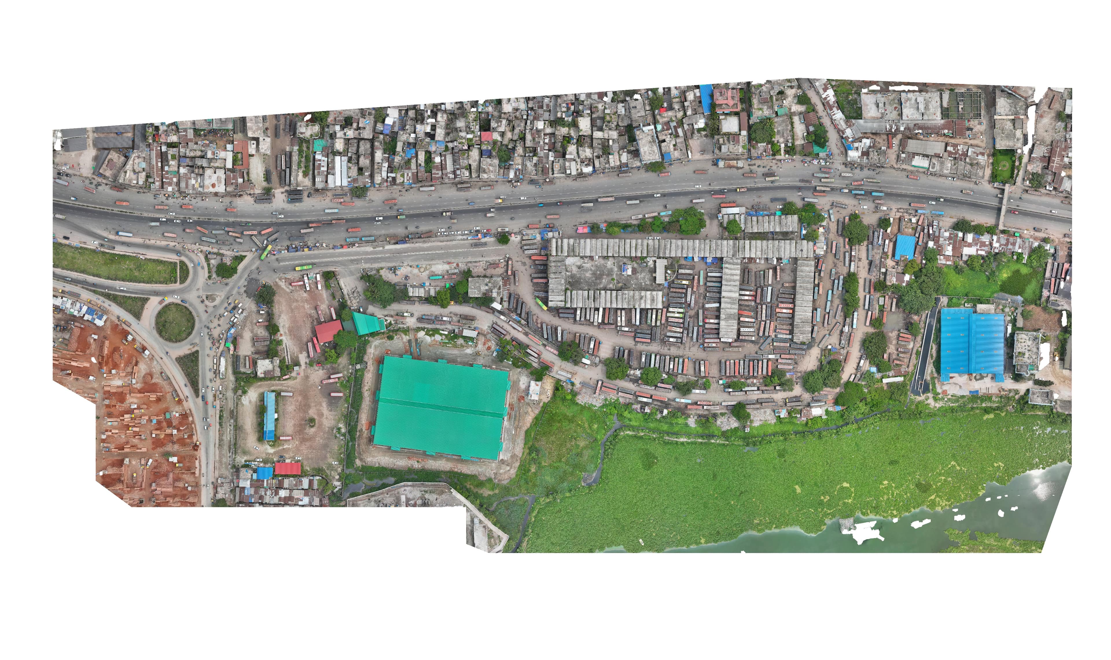
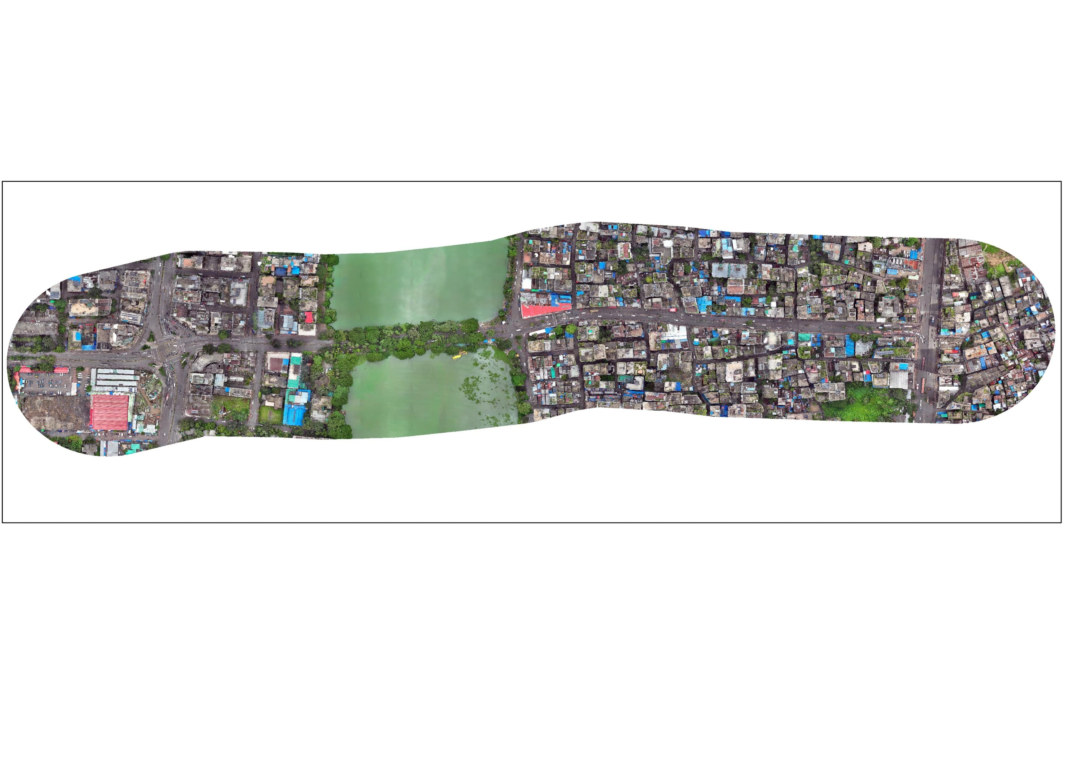
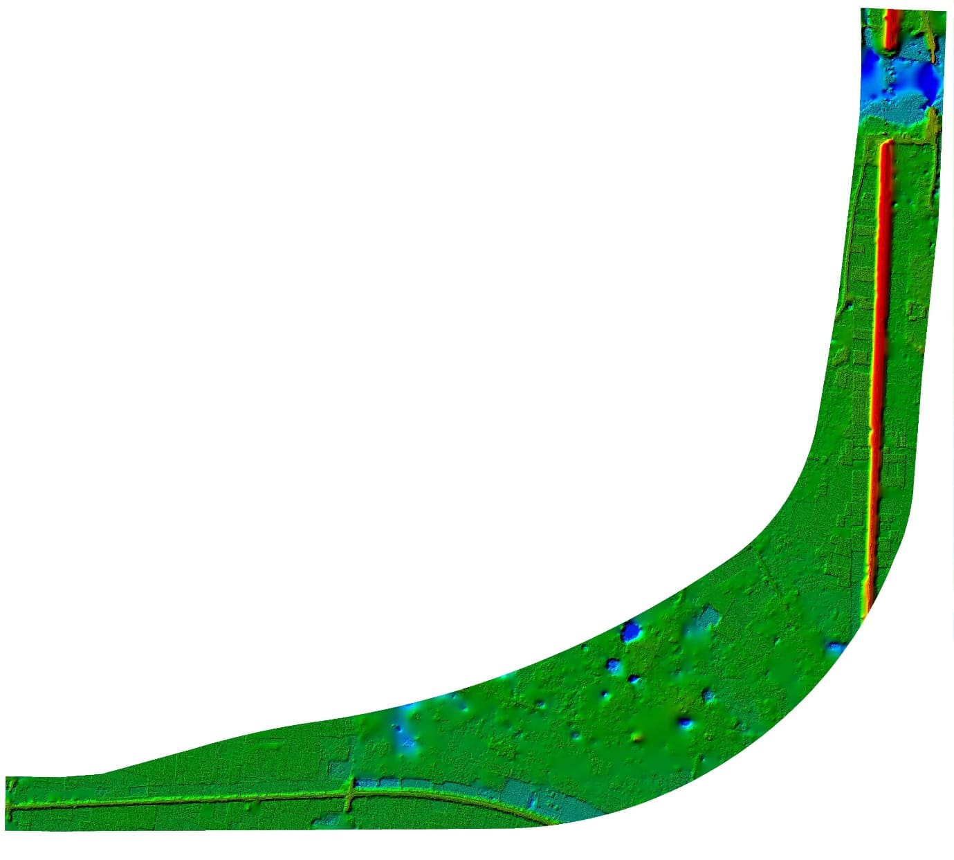
High-precision engineering surface outputs: Digital Surface Model (DSM), Digital Terrain Model (DTM), High-Resolution Orthomosaic, 0.20m Interval Contours, Land Use Land Cover (LULC), and Existing Railway Utilities.
Project overview
High-precision engineering surface outputs: Digital Surface Model (DSM), Digital Terrain Model (DTM), High-Resolution Orthomosaic, 0.20m Interval Contours, Land Use Land Cover (LULC), and Existing Railway Utilities.
What we delivered
Digital Surface Model (DSM), Digital Terrain Model (DTM), High Resolution Orthomosaic, 0.20m Contours, LULC Classification, Railway Infrastructure Features