Our Expert Services
At Geospatial Works, we offer a comprehensive range of geospatial services designed to meet the unique needs of various industries. Our team of skilled professionals utilizes the latest technology and tools to deliver precise, reliable, and data-driven solutions that enhance decision-making and project outcomes.
Geospatial Consultancy
- Strategic geospatial planning
- GIS implementation and management
- Spatial data analysis and interpretation
- Custom geospatial solutions
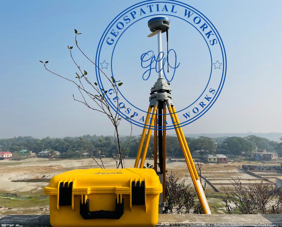
Digital Surveying
- Topographic and land surveys
- Aerial surveys using UAVs (drones)
- Hydrographic surveys
- Construction and engineering surveys
Mapping and GIS Services
- High-precision mapping
- Geographic Information System (GIS) development
- Data conversion and management
- Thematic mapping and spatial analysis
Remote Sensing
- Satellite imagery analysis
- Environmental monitoring
- Agricultural assessment
- Natural resource management
- Remote Sensing Data Processing
- Image Classification and Interpretation
- Change Detection and Monitoring
- Land Cover/Land Use Mapping
Get a Customized Quote
At Geospatial Works, we are committed to providing the best geospatial solutions tailored to your needs. Whether you require expert consultancy, precise digital surveys, or cutting-edge mapping services, our team is here to assist you. Get in touch with us today, and let’s explore how we can help your project reach new heights.
64/1 (D1), Lake Circus, Kalabagan, Dhaka 1205, Bangladesh
+88-01303772216, +88-01916567182
info@geospatialworks.com.bd