
Land Records
Mouza & Cadastral Land Boundary Survey
We digitize, rectify, and georeference historical CS, RS, and BS Mouza map sheets to resolve land ownership conflicts, establish project right-of-way (RoW), and ensure legally sound site acquisitions.
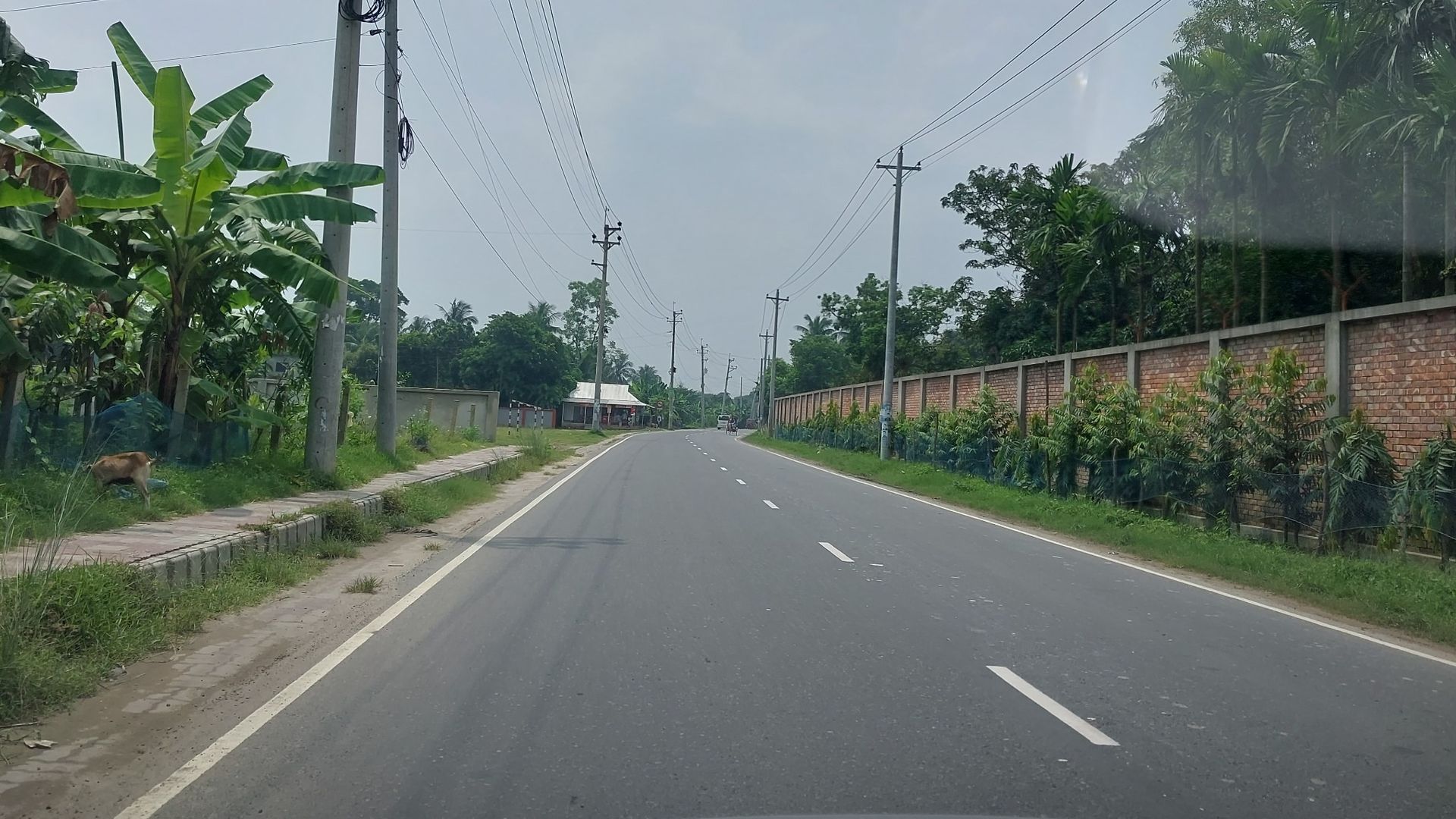
Mouza & Cadastral Land Boundary Survey • Field Equipment & In-Situ Standards
01 / CAPABILITY OVERVIEW
Uncompromising Standards for Critical Infrastructure
We digitize, rectify, and georeference historical CS, RS, and BS Mouza map sheets to resolve land ownership conflicts, establish project right-of-way (RoW), and ensure legally sound site acquisitions.
02 / TYPICAL DELIVERABLES
What You Receive
- Georeferenced Mouza Map Overlays on Satellite Imagery
- Right-of-Way (RoW) Demarcation CAD Plans
- Land Ownership, Plot Schedule, and Discrepancy Audits
- Boundary Pillar Staking and Physical Monumentation
03 / EQUIPMENT SUITE
Survey-Grade Instrumentation
04 / PROJECT ADVANTAGES
Why Engineering Leaders Choose Geospatial Works
Complementary Capabilities
View all capabilities
SURVEY & GEODATA
Topographic & Land Survey
Site, cadastral and boundary surveys with GNSS control, DSM/DEM terrain modeling, and GIS-ready contour mapping.
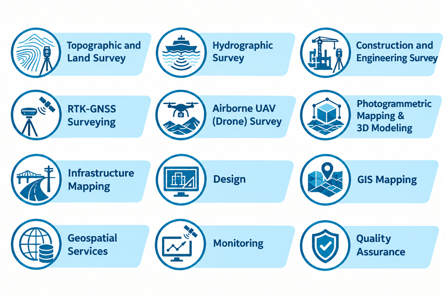
SURVEY & GEODATA
Airborne UAV (Drone) Survey
High-resolution aerial photogrammetry, multispectral NDVI vegetation mapping, and 3D surface modeling using DJI Enterprise drones.
START A CONVERSATION