
SPATIAL INTELLIGENCE
Environmental & Coastal Assessment
Drone-enabled assessment of newly accreted coastal lands, mangrove forest monitoring, and climate-smart rural infrastructure.
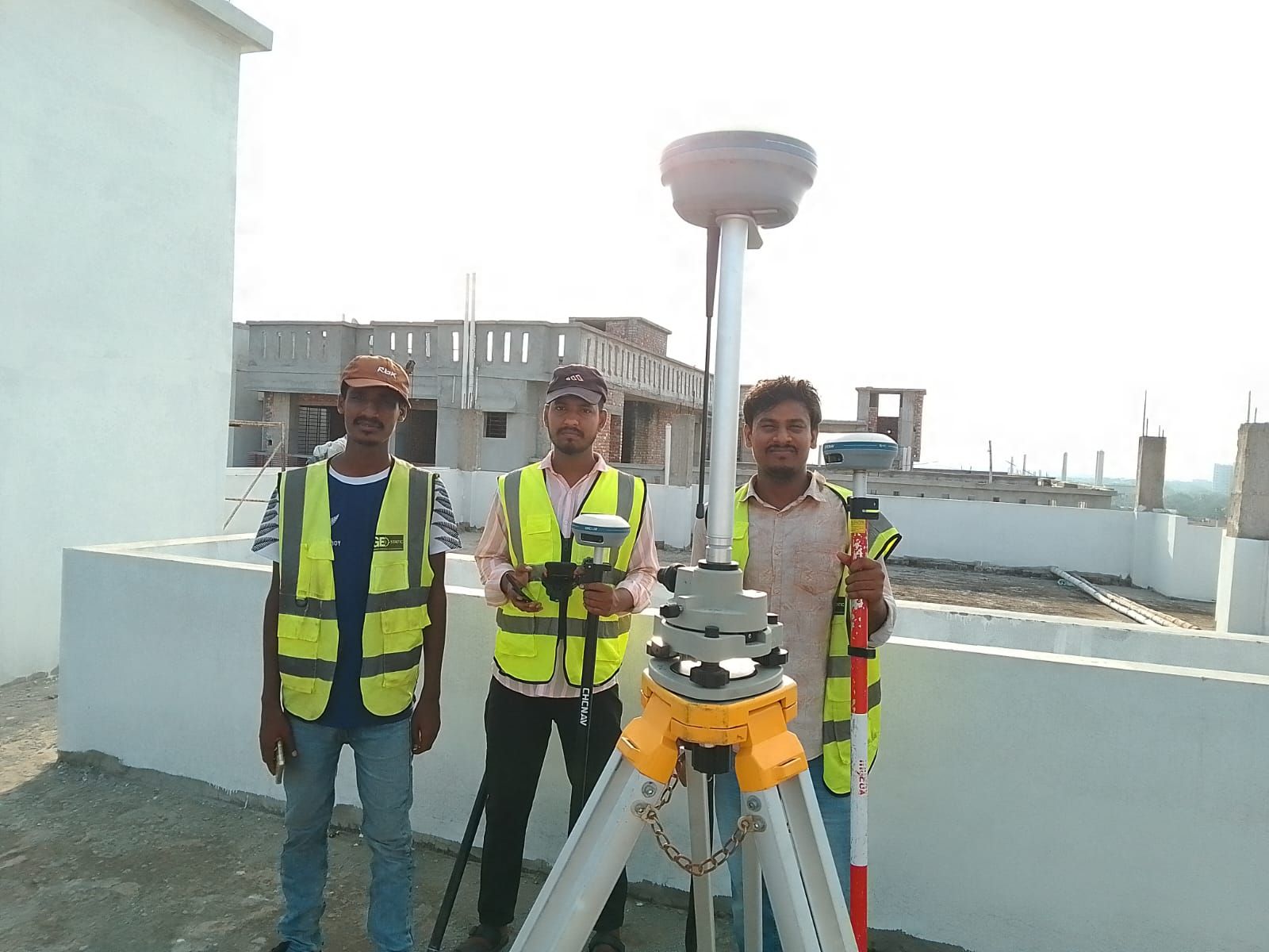
Environmental & Coastal Assessment • Field Equipment & In-Situ Standards
01 / CAPABILITY OVERVIEW
Uncompromising Standards for Critical Infrastructure
Drone-enabled assessment of newly accreted coastal lands, mangrove forest monitoring, and climate-smart rural infrastructure.
02 / TYPICAL DELIVERABLES
What You Receive
- Coastal accretion mapping
- Mangrove forest canopy density
- Climate-smart rural transport mapping
03 / EQUIPMENT SUITE
Survey-Grade Instrumentation
04 / PROJECT ADVANTAGES
Why Engineering Leaders Choose Geospatial Works
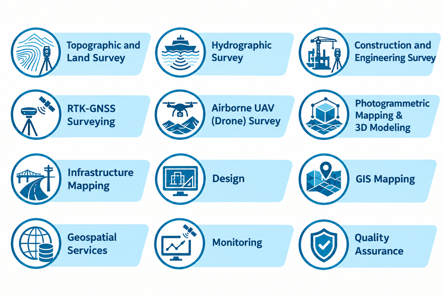
Complementary Capabilities
View all capabilities
SURVEY & GEODATA
Topographic & Land Survey
Site, cadastral and boundary surveys with GNSS control, DSM/DEM terrain modeling, and GIS-ready contour mapping.
SURVEY & GEODATA
Airborne UAV (Drone) Survey
High-resolution aerial photogrammetry, multispectral NDVI vegetation mapping, and 3D surface modeling using DJI Enterprise drones.
START A CONVERSATION